RTK Lab: looking for investors to organize drone production.
We are looking for investors to set up production of drones.
Currently, many countries have restrictions on the use of drones.
For example, in Canada, a license is required for drones weighing more than 250 grams.
Separate permissions are also required for flights above 122 meters.
Restrictions for flights over people and private property.
Flights must take place within visual range and be capable of manual control.
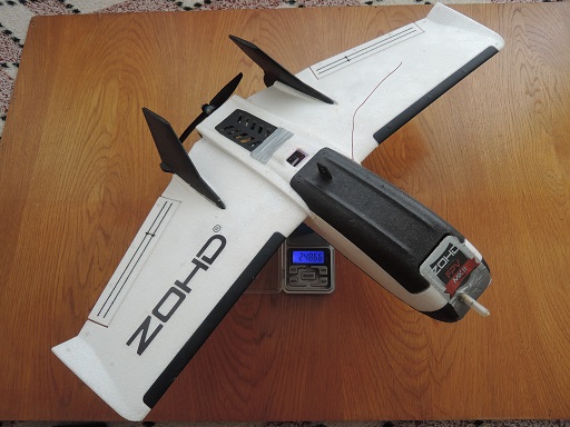
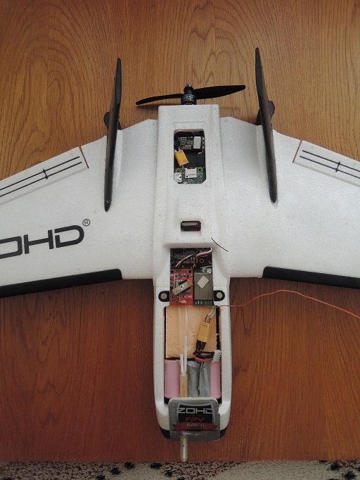
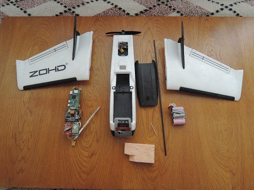
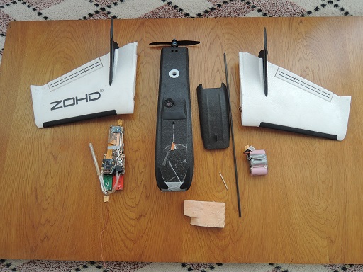
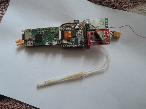
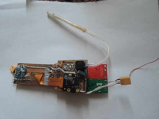
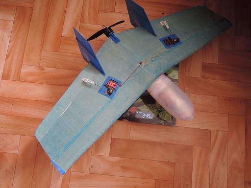
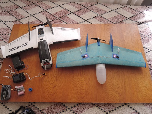
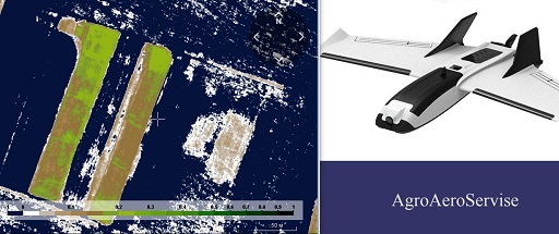
We were able to create a microplane that does not require any licenses to take aerial photos of users' fields for NDVI and upload the information to sprayers.
Experience has shown that the use of crop maps for adaptive chemical application leads to an increase in yield and income by 500 USD per square kilometer.
One flight lasting 40 minutes can bring in 1500 USD.
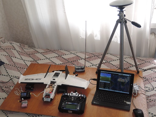
This project works well with our NTRIP Caster.
The user does not need to install a base station on the field - the program will select data from the user's base station automatically.
Characteristics:
Takeoff weight 248 grams.
Wingspan 570 mm.
Auto take off and auto landing.
Auto-landing uses lidar and an airspeed sensor.
Save via WiFi data and photos or quickly and conveniently replace the SD card and download via laptop.
Radio control up to 8 km with omnidirectional antenna.
Synchronization of GNSS measurements and the moment of shooting with an accuracy of 2 milliseconds.
The use of data from the base station implements PPK processing of the coordinates of the photo centers with an accuracy of 3 cm, which allows you to create an accurate distance map.
Simple automatic online processing on our website: uploaded data - got the result.
We use an expensive program and a powerful server for fast processing on the site.
We also have a free program for offline processing which requires a multi-core fast processor with large RAM.
12 megapixel NO IR camera with a red filter for NDVI and a wide angle of view that allows you to take pictures with a resolution of 6 centimeters per pixel.
The duration of the flight in weight is up to 250 grams -40 minutes, which allows photographing 3 square kilometers at a height of 120 meters and a resolution of 6 centimeters per pixel.
For those who have a drone operator license and can fly with a lot of weight, a simple replacement of batteries with a weight of 320 grams gives up to 1.5 hours of flight and a speed of 50 km per hour.
This allows you to capture 7 square kilometers at a height of 120 meters and a resolution of 6 cm per pixel.
These characteristics are theoretically unattainable for quadcopters.
Flying in windy conditions and greater productivity speed up the data acquisition process, which is critical in agriculture.
The planned weight of the kit with a battery reserve for 10 hours of flight will be less than 3 kilograms, which allows it to be used very mobile.
The closest competitor RTK with a weight of 1391 grams (requires drone registration and operator license) and an altitude of 120 meters (does not require a permit for each flight)
can make aerial photography only 0.7 square kilometers, which is 4 times less than our drone at a weight of 248 grams.
Also requires modifications to shoot NDVI and costs over 8000USD.
Our planned kit price is approximately 3 times lower.
In this way we have proved that it is possible to create an efficient drone with a weight of up to 250 grams.
Now we are working on a glider design with better aerodynamic characteristics, improving our kit and starting production of the first batch.
