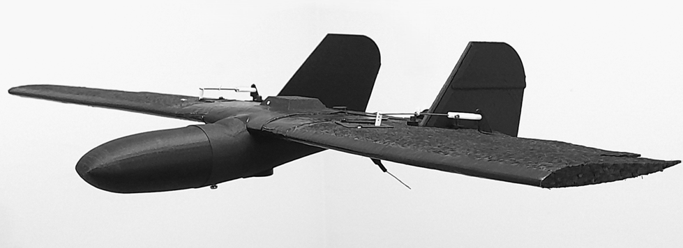
express processing of aerial photography data

It is enough to download raw data from the plane and from the database, and our service will automatically do for you:
- converting files to RINEX format,
- calculation of the exact coordinates of photo centers (EVENT),
- calculation of the exact coordinates of control points,
- will determine which coordinates correspond to photographs (up to a third of inconsistencies are allowed),
- builds an orthomosaic in GeoTIFF format,
- will build a relief and create a processing report.
Processing one square kilometer with a resolution of 8-10 cm / pixel takes about 0.5 hours.
Use cases:
1.You have photos from a quadcopter or an airplane with coordinates in EXIF.
2.You have photos from a quadcopter or an airplane and there are files for PPK processing.
Go to express processing of aerial photography data
Currently processing up to one gigabyte of raw data is free.